Grandfather’s Maps – Maps of the Second World War in France 1944 to 1945

Project Parameters: My grandfathers maps from the Second World War needed preservation. After discovering a number Second World War military maps of France from my grandfather, Roger Kittle, service in the US Army’s 2nd Cavalry Group (Mechanized) in my mother’s attic there was a need to digitally preserve those maps for future generations.
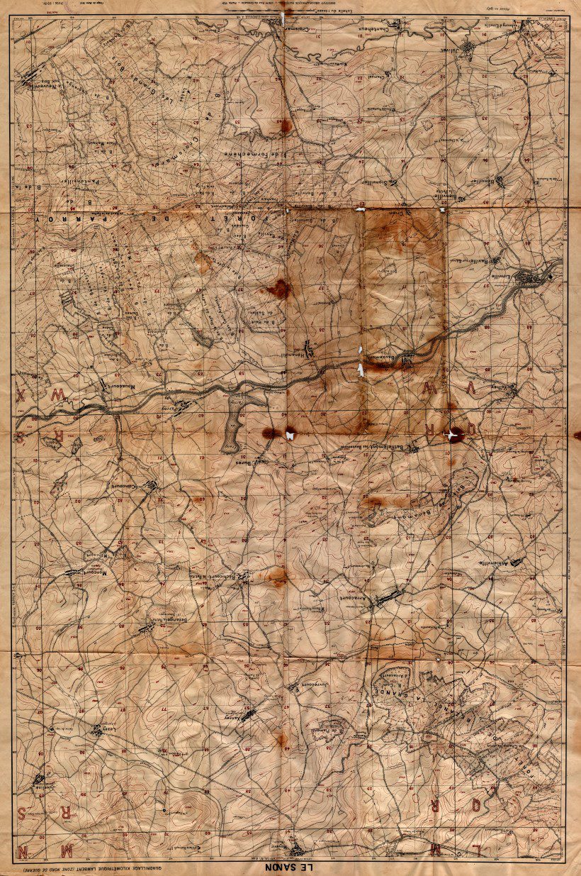
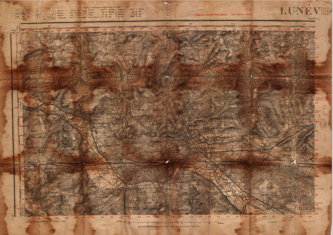
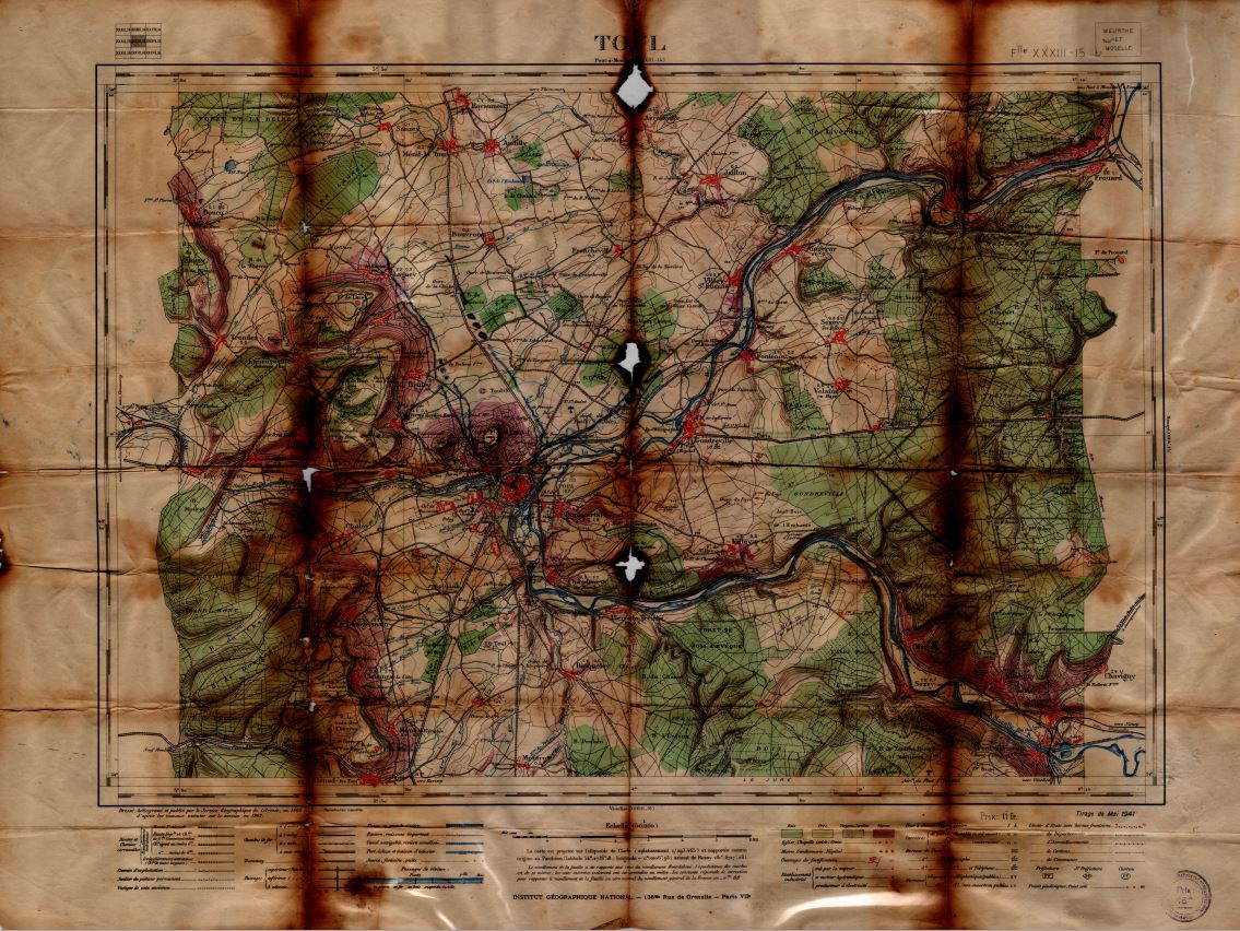
What I did: This was an individual project. The condition of the maps after nearly 80 years in a box in an attic was a concern. While the maps were still viable artifacts they all had numerous flaws, such as tears and fold burns. As a result the preservation took two forms.
- Preserving the maps in mylar so that the deterioration could be lessened as time went on.
- Working with a local print shop to get high quality scans of the maps to preserve them digitally.
Outcomes
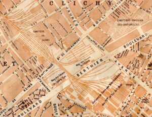
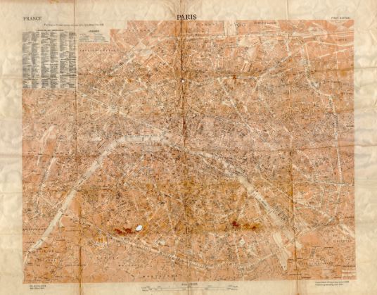
- The maps were scanned and are now in a large format digital file and the process of preserving them in mylar has started. The digital files are so large that I am unable to place them on this site! Lower sized versions are included below as well as a portion of the Paris Map which also links to my personal website with zoomable images of the maps. My grandfather’s maps can now be enjoyed and reviewed for years to come.