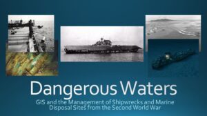
Dangerous Waters, GIS and the Management of Shipwrecks and Marine Disposal Sites from the Second World War
Project Parameters: Research and GIS Project on the use of geospatial technologies and how they are being used to help solve real world problems.
What I did: This was an individual assignment for a GIS project that required not only research into the locations and sites of World War Two shipwrecks, but as well the efforts to manage these site using GIS. Three maps were created from research into the subject, and a presentation of 15 minutes was also created as part of the project.
Maps Developed:
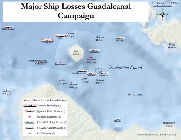
- Guadalcanal Shipwrecks,
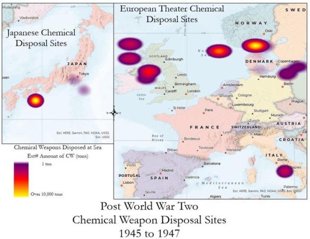
- Chemical Weapons dumping sites
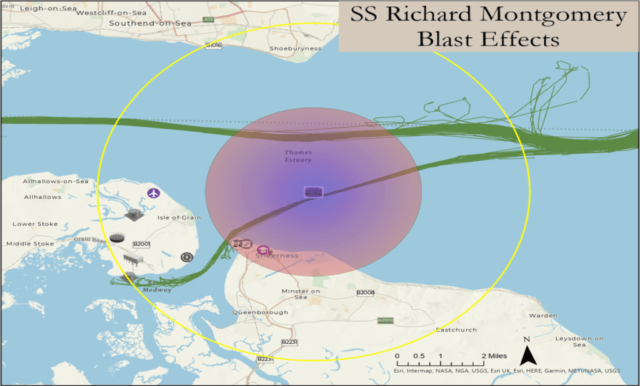
- Possible blast effects from the wreck of the SS Richard Montgomery
Skills Used
- ArcGIS
- GIS
- Research
- Presentation Skills

Outcomes and Student Learning Objectives:
- Explain the basic nature, characteristics, specification, types, acquisition, processing, organization and management of geospatial data in a geographic information system;
- Describe, select and apply the basic functional and analytical capabilities of GIS;
- Organize and visualize spatial data in ArcGIS; and
- Describe and explain pertinent policy issues relating to the use of GIS in the public and private sectors.
[pdf-embedder url=”https://insc589.infosci.utk.edu/rjustus1/wp-content/uploads/sites/35/2022/05/Dangerous-Waters.pdf” title=”Dangerous Waters”]


